Summary:Forest fires are among the most significant hazards facing global forestry; they occur annually, resulting in substantial losses of forest resources and global environmental pollution. They are characterized by their sudden onset, the randomness of their occurrence, and the potential to cause massive damage within a short period.

Forest fires are a major global forestry hazard; their annual occurrence results in significant losses of forest resources and contributes to global environmental pollution. Forest fires are characterized by their sudden onset, randomness, and the potential to cause massive damage within a short period.
1 Requirements Analysis
A forest fire monitoring system should possess six key features: 1) wide monitoring coverage; 2) all-weather monitoring capability; 3) wireless transmission; 4) wind-solar hybrid power supply (guaranteeing at least 24 hours of operation during overcast or rainy days); 5) safe and reliable lightning protection and grounding; and 6) centralized monitoring of the operational status of front-end equipment.
1. Regarding the selection of monitoring points: Cameras should be installed at high vantage points within the forest to ensure a wide, unobstructed field of view and extensive coverage. The number of monitoring points should be minimized while maximizing the forest area covered by each point; additional points may be added if blind spots are unavoidable.
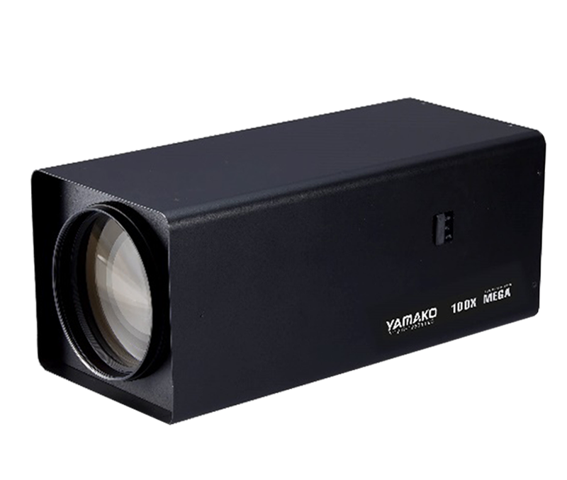
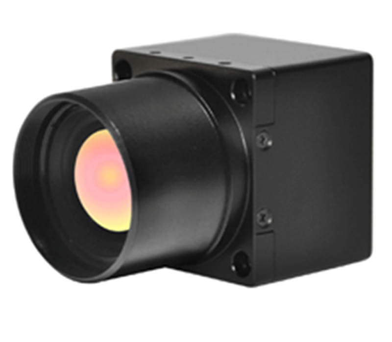
2. Monitoring points must operate around the clock. Therefore, the cameras selected should be infrared-sensitive models capable of switching between color and black-and-white modes. Lenses should be day/night compatible and capable of clearly capturing human activity at a distance of 3 km. Outdoor integrated pan-tilt units (PTUs) driven by screw mechanisms are required, and the camera mounting must be secure and stable to minimize image jitter over long distances.
3. Due to the specific nature of forest fire monitoring, relying entirely on wired or fiber-optic connections for data transmission is impractical. A hybrid approach combining wireless and wired networks should be adopted. Wireless transmission offers ease of installation and provides clear, real-time imagery; furthermore, transmission power can be adjusted according to distance and specific on-site environmental conditions.
4. The wind-solar hybrid power supply system is a critical component of the forest fire monitoring system; its performance directly determines the success or failure of the front-end monitoring equipment. First, products from specialized wind-solar hybrid system providers should be selected. Second, the power supply system must guarantee 24-hour power for all front-end equipment at every monitoring point, even during overcast or rainy weather. 5. The weak point of forest fire monitoring systems lies in the lightning protection and grounding of the front-end equipment; these factors directly impact the safety and reliability of the entire project. Neglecting them can result in significant losses for the user. The guiding principle is that all equipment must be installed within the protection zone of a lightning rod, and the grounding resistance must not exceed 10 ohms.
6. As the front-end monitoring equipment is located in remote mountainous areas, maintenance is extremely difficult. Therefore, the ability of the central station to monitor the operational status of the front-end equipment in real-time provides valuable insights for maintenance. This not only reduces the workload and costs associated with system maintenance but also safeguards the user's interests.
2 System Functions
The monitoring and command video wall displays images from front-end data collection points in real-time;
Digital images can be transmitted remotely via wireless and computer networks;
All video footage is recorded and stored, allowing for the retrieval and playback of historical images. Supports 15x24-hour data storage;
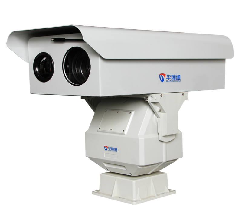
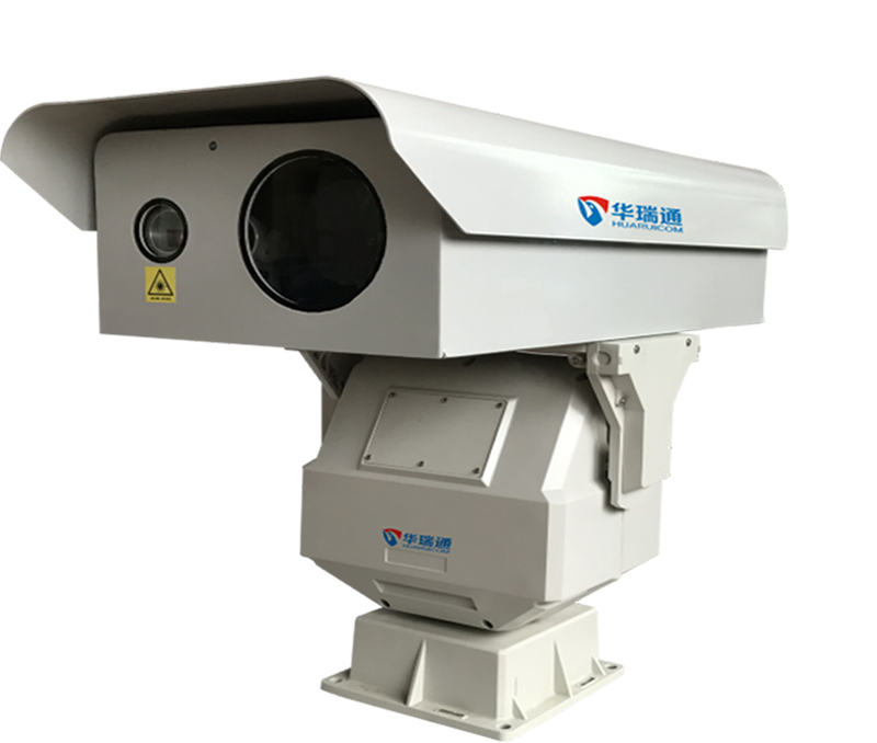
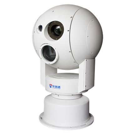
Utilizes a heavy-duty outdoor PTZ (Pan-Tilt-Zoom) unit capable of real-time position feedback; equipped with a motorized variable-focal-length telephoto lens and a high-definition, low-light camera; PTZ and lens operations can be controlled via a dedicated keypad or monitoring software;
Achieves over 95% surveillance coverage of the entire forested area using strategically placed monitoring points;
Ensures high system security through user authentication, access control, and audit functions;
Offers easy data retrieval: utilizes a timeline-based design allowing searches by time and date;
Employs a fully digital transmission mode, facilitating connectivity with other fire prevention centers and relevant forest fire management departments;
Power supply system: ensures uninterrupted power delivery under all weather conditions;
Lightning protection system: incorporates robust lightning protection measures to guarantee safe system operation;
The following functions require integration with additional equipment or systems and are recommended for consideration in Phase II:
Anti-theft alarm: installs triple-technology detectors at monitoring points to trigger alarms at the monitoring center upon intrusion, thereby protecting the user's investment or minimizing losses;
Fire detection and alarm: when the surveillance camera captures a forest fire, on-duty personnel verify the fire situation and location, then issue alerts via an SMS platform;
GIS management system: enables real-time linkage between the GIS and surveillance cameras at data collection points; allows monitoring personnel to track locations on an electronic map, perform basic map operations, and dynamically manage forest fire prevention efforts, providing intuitive planning and decision-making support;
Fire localization function: utilizes the PTZ units in the front-end collection system; assigns geographic codes to each monitoring point within the GIS and plots their coordinates directly onto the electronic map; upon receiving position data (including specific codes) from the digital PTZ, the GIS applies a mathematical model to determine the precise location; also supports manual localization;
Decision support function: the GIS provides the shortest route for the nearest firefighting team to reach the fire site, along with information on major access roads and their trafficability; it also displays critical data such as the locations of firebreaks and estimated travel times to the fire scene.


 ServiceService support
 Hot Products
 Solution
 Contact information