SolutionSolution
 Hot Products
 Video
Video


 Contact information
Home > Solution> Forest Fire-proof Solution

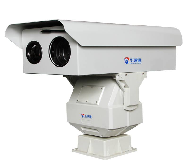
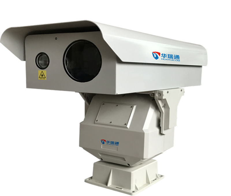
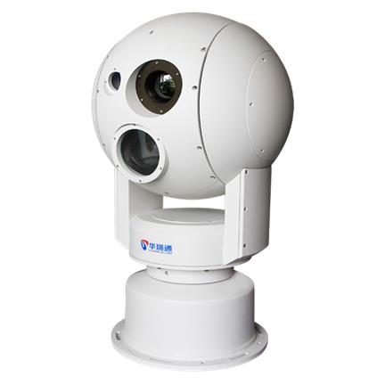
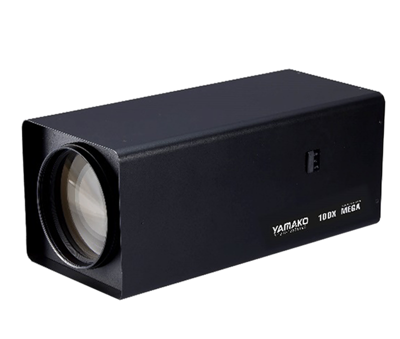
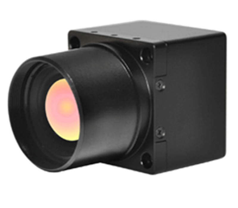
The solution encompasses the design of all hardware and software components for the entire system—including visible-light and thermal imaging cameras, digital PTZ units, towers, meteorological data acquisition systems, base station controls, lightning protection, and monitoring center video storage, display, and emergency command capabilities—thereby providing a comprehensive solution.
Click View >
Given the characteristics of wetlands, nature reserves, and protected areas for rare flora and fauna—namely their wide distribution and scattered, irregular layout—the implementation of remote video surveillance systems offers significant benefits for scientific management and operational safety. Installing multiple camera arrays within these areas allows management personnel to gain a comprehensive understanding of on-site conditions; this plays a crucial role in safeguarding wetland protection measures, reserve management, wildlife habitats, and water source security, while also enhancing staff efficiency.
Click View >
The grassland fire prevention system employs an intelligent dual-spectrum recognition system—combining visible-light smoke and fire detection with infrared thermal imaging for temperature-based identification—along with cameras, telephoto lenses, and backend monitoring software to detect smoke and fire and trigger automatic alarms. It utilizes the azimuth and tilt angles of a heavy-duty digital pan-tilt unit, the focal length of the telephoto lens, and a backend GIS management platform to automatically and precisely pinpoint the location of fire sources.
Click View >