Solution Overview:
Front-end Data Acquisition Units:
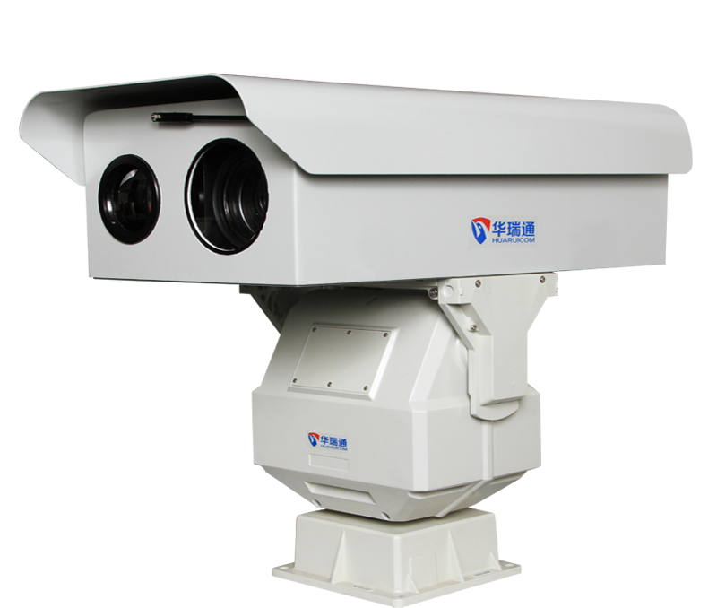
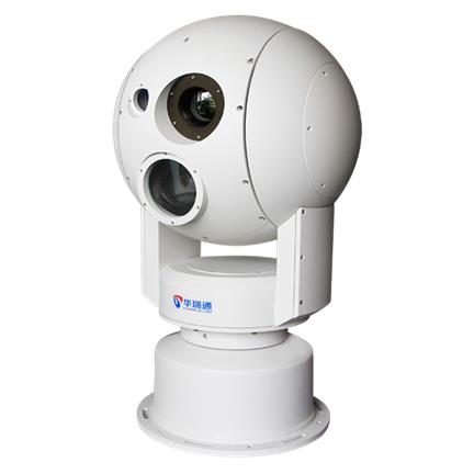
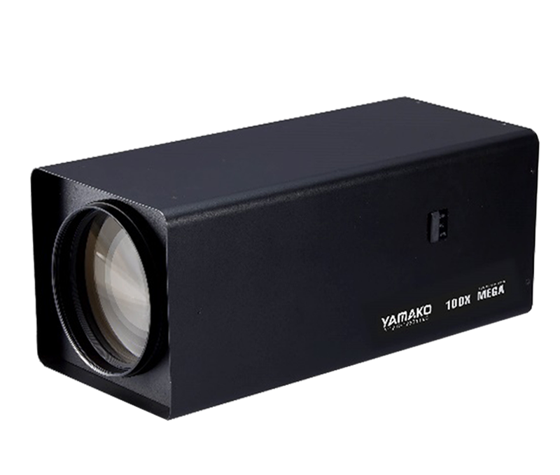
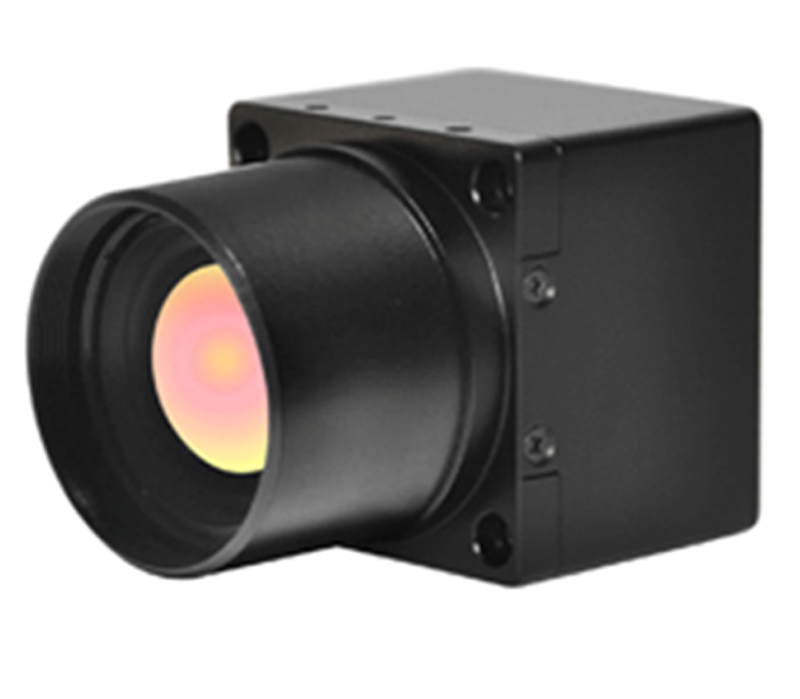
Typically installed at high-vantage points—such as fire lookout towers—within the forest area, these units comprise high-definition visible-light cameras with fog-penetration capabilities, long-range zoom lenses with fog-penetration optics, omnidirectional positioning PTZ (Pan-Tilt-Zoom) mounts, outdoor housings, intelligent smoke and fire recognition modules, thermal imaging cameras, and network switches. These devices perform automated, round-the-clock scanning of the forest. By utilizing visible-light cameras and intelligent recognition modules, they can detect forest fires across vast distances and wide areas. Simultaneously, they monitor vegetation health, pest and disease conditions, and active fire scenes, providing reliable data to support remote command and control during firefighting operations.
Transmission System:
The transmission system employs a hybrid approach combining wired fiber optics and wireless digital microwave technology. Digital microwave units are installed at monitoring points where vegetation is dense or fiber-optic cabling is impractical; these units relay video feeds to a nearby monitoring node, from where the combined video data is transmitted to the central monitoring and management center via fiber optics.
Monitoring Center:
The center provides comprehensive, clear, real-time multi-view imagery that can be recorded and played back, while also allowing for remote control of camera zoom and PTZ movements. When a fire alarm is triggered at a monitoring point, the system combines real-time PTZ angle feedback with GIS-based latitude and longitude data to pinpoint the exact location of the fire. Additionally, the center integrates subsystems designed for operational needs, such as firefighting route planning, fire source analysis, and emergency response plan management.

System Topology Diagram
Fire warning and monitoring equipment:

Features:
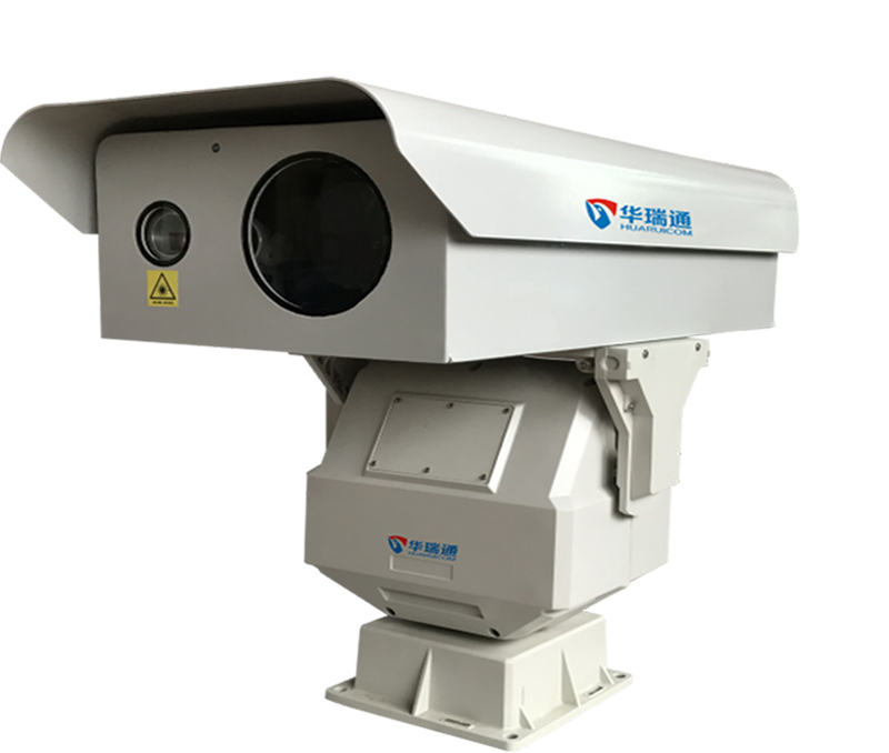
The HRC-P6500 series long-range dual-spectrum intelligent night vision camera integrates a high-performance infrared thermal imaging module and a visible-light camera module. It is equipped with a precision pan-tilt unit and supports network video transmission. The visible-light camera outputs full-color images during the day, while the thermal imaging component performs image processing and temperature measurement 24 hours a day. Utilizing standard security interfaces, it supports direct analog video output to monitors and network viewing via web browsers or client software; it also captures raw data (single-frame or continuous) for advanced temperature analysis.
The unit features an IP67 protection rating, a robust and fully sealed structure, and an anti-oxidation, salt-spray-resistant coating. It is hurricane-resistant, capable of operating normally in wind speeds of up to 150 km/h. With remote defrosting and anti-fogging capabilities, as well as excellent water and temperature resistance, it operates reliably in all weather conditions and harsh environments.
1. Dual-channel imaging output (visible light and thermal); day/night complementarity; dual-mode recognition and early warning for both visible and thermal channels.
2. High-definition camera with fog penetration, mechanical IR-cut filter switching, 135-level grayscale, and automatic black-level and contour correction.
3. High-magnification zoom lens for long-range target observation; supports autofocus and preset functions.
4. Options for fixed-focal-length, field-of-view switching, or continuous zoom lenses; motorized focusing ensures clearer night vision images.
5. Strong adaptability to harsh weather; utilizes far-infrared technology to produce effective images in total darkness, rain, snow, fog, or smoke/dust; IP67 protection rating.
6. Supports unattended operation, including automatic scanning and preset patrol functions.
7. Integrated product with a modular structure; supports remote fault diagnosis and remote power-cycle (reboot) for easy installation and maintenance.
8. Compatible with GIS systems for secondary development of target positioning functions with high accuracy.
Video transmission system:

Common solutions:
Microwave transmission is often obstructed by mountains; typically, data is transmitted via microwave to a nearby carrier base station and then relayed back to the command center using the station's leased fiber-optic lines. If microwave transmission to a carrier base station is not feasible, 3G or 4G transmission is used; in extreme scenarios where there is no cellular signal or carrier base station, microwave relay stations are deployed to transmit the signal.
Meteorological Data Acquisition System:


Power supply system:

When laying cables is too costly or when grid connection is not possible, a wind-solar hybrid power supply system is adopted. The wind-solar hybrid system includes solar panels, batteries, wind turbine blades, a comprehensive controller, inverters, and surge protection modules. In areas with abundant sunshine or wind resources, the system's batteries must be configured to ensure normal operation for 3 days under continuous cloudy/rainy and windless conditions. When sunshine and wind resources are not particularly abundant, additional batteries should be added to ensure normal system operation.
Base station control system:

Main functions:
Temperature control: Built-in heater and fan, the fan starts when the temperature of the control box is higher than 35 degrees, and the heater starts when the temperature is lower than 5 degrees (the above temperature is adjustable)
Lightning protection: built-in power supply lightning protection module and network lightning protection module
Data aggregation: Built-in industrial switch to complete data aggregation in the control box
Power amplifier: Cooperate with the anti-theft system to realize volume adjustment, and perform real-time broadcasting from the monitoring center to the video monitoring point.
Remote power-off: When the monitoring equipment crashes or does not need to be turned on during non-fire prevention periods, the equipment can be remotely powered off and on through text messages to save power in the wind-solar hybrid solar system and achieve remote system maintenance.
Burglar alarm system:


Surveillance cameras Triple Detector pickup Outdoor speakers
The anti-theft alarm system provides 24-hour monitoring of the area below the tower. When a person or animal approaches the tower, a three-technology detector will detect it and trigger an alarm. Upon receiving the alarm signal, the monitoring center will display an alarm screen and sound an alarm. At this time, a voice intercom system can be used to enable real-time voice communication between the monitoring center personnel and those below the tower, promptly warning anyone attempting to climb the tower and ensuring the safety of the equipment.
Equipment installation:

The equipment is typically installed at a high vantage point in the field; it can be mounted on a newly constructed tower or on an existing carrier base station. If a new tower is built, it must extend approximately 5 meters above the surrounding trees, and proper lightning protection and grounding must be implemented—specifically, the grounding resistance for installations on high mountains must meet the 10-ohm standard. An anti-theft system is installed on the tower at a height of about 8 meters above the ground, while the weather station is positioned either on the tower itself or at a distance of approximately 8 meters from it. In the hybrid wind-solar power system, the solar panels and wind turbine are mounted on the tower or on a newly constructed foundation, while the battery bank is installed either above ground or underground.
Fire Prevention Command Platform:

1. Video Surveillance: Real-time access to video feeds from all fire monitoring points, with capabilities for zooming, focusing, PTZ (pan-tilt-zoom) control, and setting patrol routes.
2. Fire Detection: Supports two warning methods—visible-light smoke and fire detection, and thermal imaging-based temperature differential alerts—along with the capture and processing of alarm snapshots.
3. Video Storage: Stores video from all monitoring points for a period of three months (extendable upon user request); footage exceeding this retention period is automatically overwritten, starting with the oldest data.
4. Fire Source Localization: Pinpoints hotspots based on angular data transmitted by the fire monitoring cameras, recording details such as the alarm time and geographic coordinates (latitude and longitude).
5. Spread Simulation: The software retrieves real-time meteorological data and integrates it with digital elevation models and forest compartment data to calculate fire progression trends over time and simulate the scenario on the platform.
6. Situational Plotting: Facilitates strategic planning for firefighting operations and the development of fire suppression action plans following the outbreak of a fire.


 SolutionSolution
 Hot Products
 Video
Video

 Contact information