Shenzhen huaruicom Technology Co.Ltd.
0755 - 8651 8800

CN EN


ProductsProduct Navigation

Hot Products

Solution

Contact information

Contact Number:0755 - 8651 8800 Skype:76024879 Mobile phone:13922881698 Email:sales@huaruicom.com

Home > Products > Industry products > Coastal Defense Management System > border coastal information management system

Integrated Information Management System for Border and Coastal Defense
  • Integrated Information Management System for Border and Coastal Defense

Integrated Information Management System for Border and Coastal Defense

Leveraging existing technical capabilities and management methods, the system establishes remote, unmanned monitoring stations equipped with a variety of sensors—including radar, BeiDou/GPS, AIS, ther

  • Overview
  • Parameters
  • Applications
  • Download
  • Product Introduction:


    Leveraging existing technical capabilities and management methods, the system establishes remote, unmanned monitoring stations equipped with a variety of sensors—including radar, BeiDou/GPS, AIS, thermal imaging cameras, and meteorological instruments. Real-time raw data collected by these stations is aggregated via wired networks and transmitted to a data service center. An integrated information management platform for border and coastal defense processes this aggregated data to generate the required secondary data, which is then disseminated to relevant departments and agencies via an information distribution subsystem. This process delivers timely, accurate, comprehensive, and continuous (24/7, all-weather) maritime information services to support coastal security and surveillance.

  • Leveraging existing technical capabilities and management methods, the system establishes remote, unmanned monitoring stations equipped with a variety of sensors—including radar, BeiDou/GPS, AIS, thermal imaging cameras, and meteorological instruments. Real-time raw data collected by these stations is aggregated via wired networks and transmitted to a data service center. An integrated information management platform for border and coastal defense processes this aggregated data to generate the required secondary data, which is then disseminated to relevant departments and agencies via an information distribution subsystem. This process delivers timely, accurate, comprehensive, and continuous (24/7, all-weather) maritime information services to support coastal security and surveillance.


    1. Electronic Chart Display

    Displays the real-time location and heading of all vessels in the area and records their navigation trajectories.

    2. Information Query

    Allows users to query details such as vessel location, vessel type, and operational status.

    3. Video Surveillance and Tracking Integration

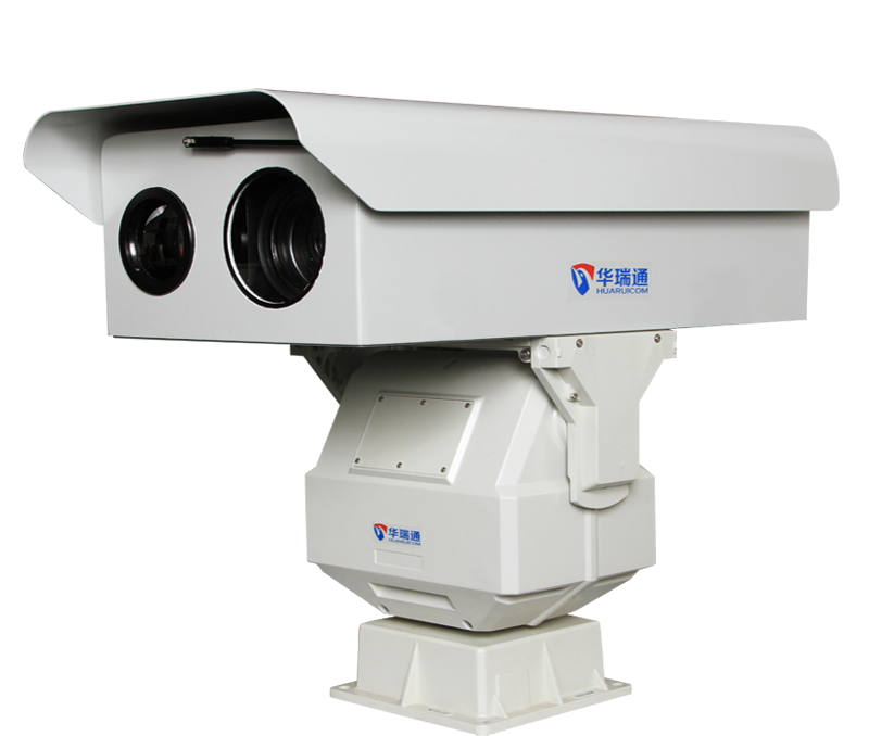
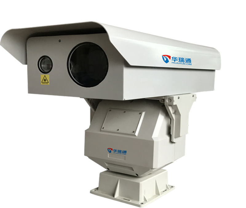
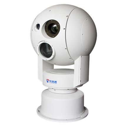
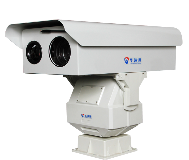
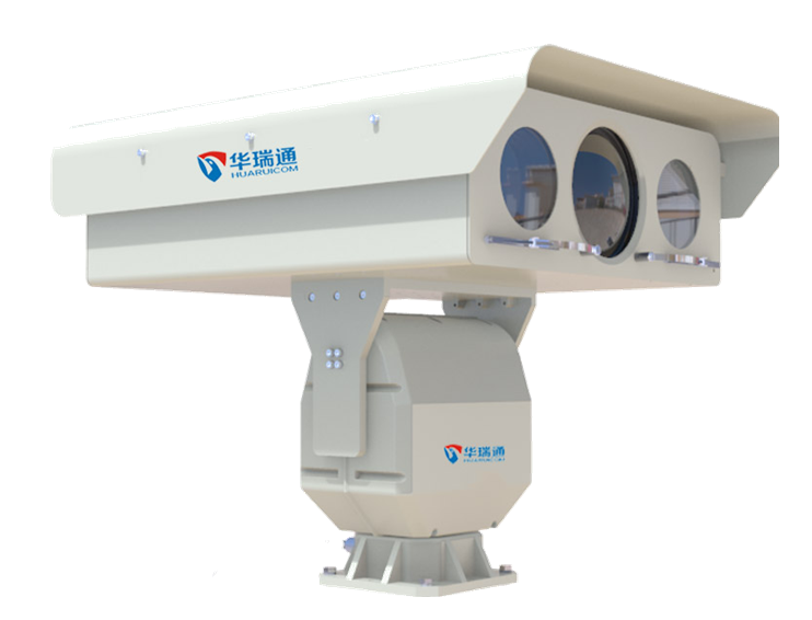
    Integrates real-time visible-light and thermal imaging feeds from front-end optoelectronic devices; enables platform-based control of these devices, including zooming, focusing, and PTZ (pan-tilt-zoom) rotation.

    4. Automatic Target Recognition and Tracking

    Optoelectronic devices detect targets (people, vehicles, vessels) entering the monitored area in real-time and automatically rotate the PTZ unit to track detected targets.

    5. Early Warning and Alarm

    The system performs intelligent monitoring and early warning by combining dynamic vessel data with static environmental data; it triggers audible and visual alarms upon detecting abnormal vessel behavior, alerting users to initiate appropriate emergency responses.

    6. User Plotting

    Supports custom plotting on electronic charts; users can mark points, lines, and areas based on operational needs, customize display styles, and associate attributes with specific business functions.

    7. Statistical Report Generation

    Analyzes and compares recorded data to generate operational reports tailored to user requirements.

    8. Data Integration

    Integrates various data sources, including video, radar, fiber-optic vibration sensing, meteorological data, and vessel location data.


Related Products
Understand more>