Background:
Changzhi is located in the southeastern part of Shanxi Province, within the southern section of the Taihang Mountains. It borders Handan (Hebei) and Anyang (Henan) to the east, Linfen to the west, Jincheng to the south, and Jinzhong to the north. The terrain slopes gently from northwest to southeast; the city spans approximately 150 km from east to west and 140 km from north to south, covering a total area of 13,896 square kilometers. Its geographical coordinates range from 111°58′03″ to 112°44′04″ East longitude and 35°49′ to 37°08′ North latitude.
Requirements:
Changzhi’s jurisdiction comprises 10 counties, 2 districts, and 1 county-level city: Changzhi County, Xiangyuan County, Zhangzi County, Tunliu County, Huguan County, Licheng County, Pingshun County, Wuxiang County, Qin County, Qinyuan County, the Urban District, the Suburban District, and Lucheng City.
Establish a unified municipal-level command platform for fire prevention and early warning, capable of managing the districts, counties, and the county-level city under a tiered authority structure. Each monitoring node will have a detection radius ranging from 3 to 8 km, collectively covering the total area of 13,896 square kilometers. The geographical coordinates are 111°58′03″–112°44′04″ East longitude and 35°49′–37°08′ North latitude.

Proposed solution:

Equipment Selection:

Front-end Fire Early Warning Units:
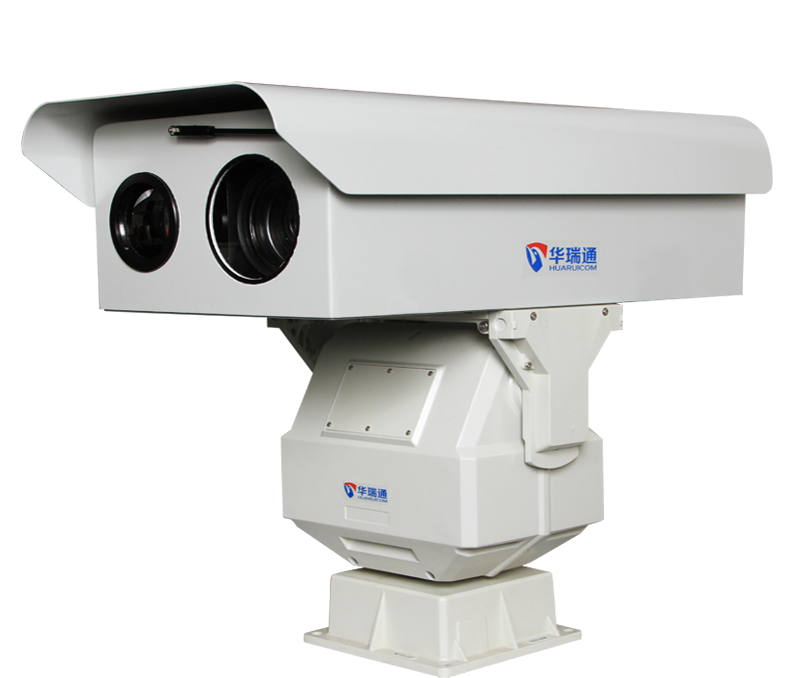
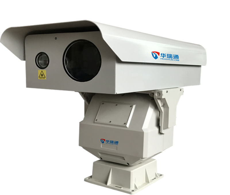
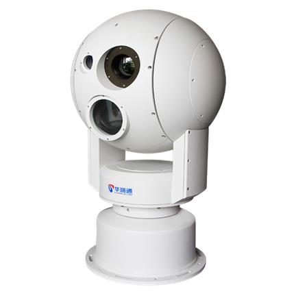
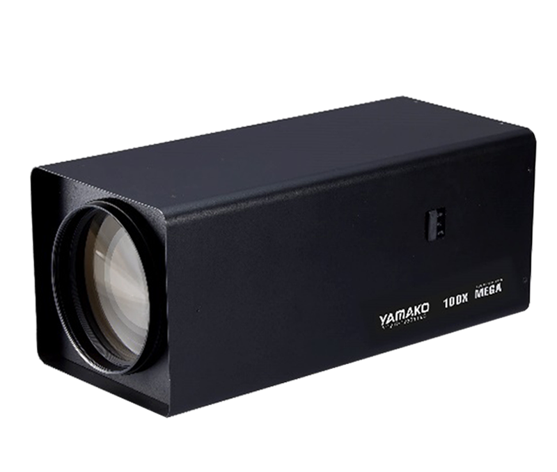
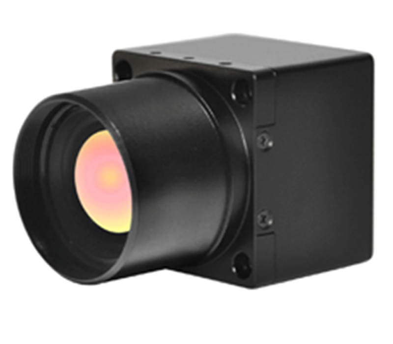
The HRC-P6500 series (5 km detection radius) and HRC-P6800 series (10 km detection radius) are long-range, dual-spectrum intelligent night-vision cameras that integrate high-performance infrared thermal imaging modules with visible-light camera modules. Equipped with a precision omnidirectional pan-tilt unit, they support network video transmission. The visible-light camera outputs full-color images during the day, while the thermal imaging component performs image processing and temperature measurement 24 hours a day. Utilizing standard security interfaces, the units support direct analog video output to monitors as well as network-based viewing via web browsers or client software; they also capture raw data—either as single frames or continuous streams—to facilitate advanced temperature analysis.
Early Warning Platform Software:

Project Acceptance:

Project Highlights:
The early warning and command platform integrates front-end meteorological data collection to enable precise and efficient fire contingency planning; it utilizes end-to-end wireless transmission and eco-friendly power supply to ensure stable, long-term system operation.


 CaseSuccess case
 Hot Products
 Video
Video

 Contact information