CaseSuccess case
 Hot Products
 Video
Video


 Contact information
Home > Case> Forest Fire-proof case
Background:
Longnan is situated in the mountainous terrain formed by the east-west trending fold belt of the Western Qinling Mountains. It lies at the convergence of three major geographical regions—the Qinling-Bashan Mountains, the Qinghai-Tibet Plateau, and the Loess Plateau—and serves as a transitional zone between China's second and third topographical steps. To the west, it transitions to the Gannan Plateau (on the northern edge of the Qinghai-Tibet Plateau); to the north, to the Longzhong Loess Plateau; to the south, to the Sichuan Basin; and to the east, it connects with the Western Qinling Mountains and the Hanzhong Basin. The terrain of Longnan slopes from northwest to southeast, with an average elevation of 1,000 meters. The Western Qinling and Minshan mountain ranges extend into the area from the east and west, respectively, creating a complex landscape characterized by an alternation of towering peaks, deep gorges, and basins.
Requirements:

Proposed solution:

Equipment Selection:

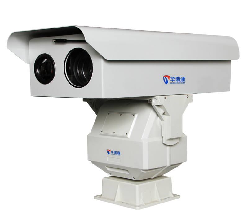
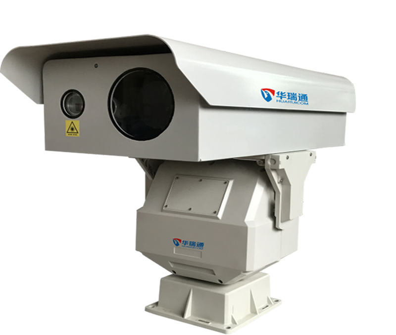
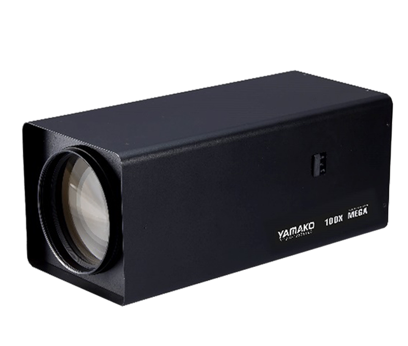
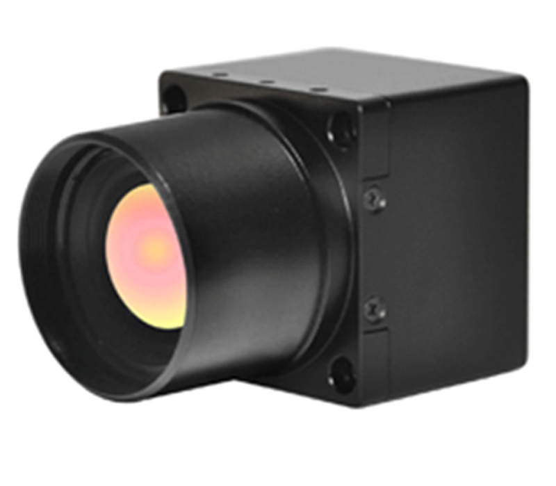
HRC-P6500 series (early warning monitoring radius 5KM) long-range dual-band intelligent night vision camera integrates high-performance infrared thermal imaging module and visible light camera module. Equipped with an all-round precision pan/tilt and equipped with network video transmission function. The visible light camera outputs full-color images during the day, and the thermal imaging component can perform image processing and temperature measurement calculations 24 hours a day. Adopting security standard interface, the analog video can be directly output to the monitor or the video picture can be viewed through the web page or client network, and raw data can be collected in a single frame or continuously for secondary temperature analysis.


Project Acceptance:

Latest Products
Understand More>