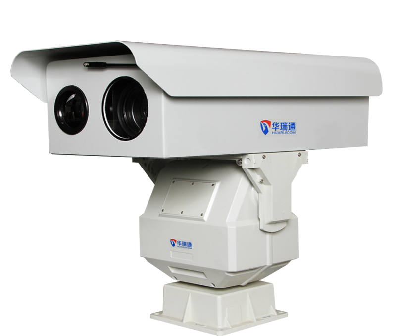
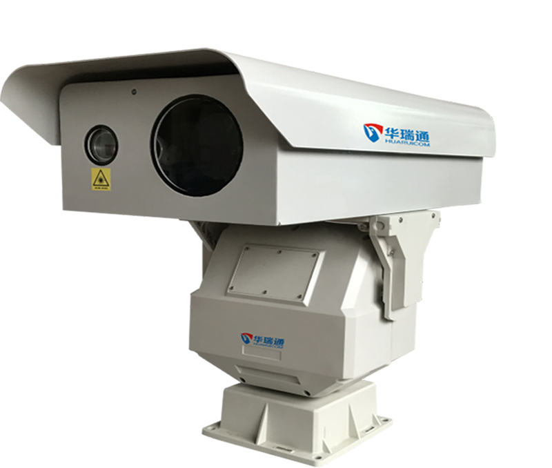
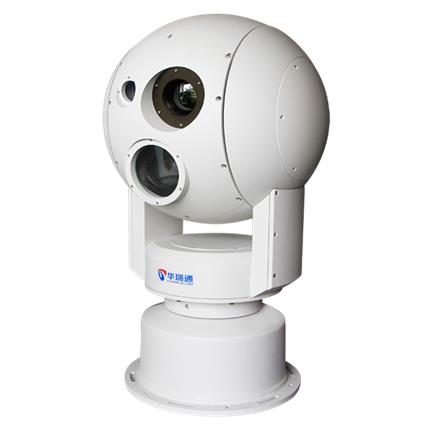
Summary:(1) The high-altitude observation system employs industry-leading image enhancement technology to achieve electronic fog penetration, ensuring normal monitoring and obtaining clear video and image quality even in heavy rain, fog, or other hazy weather conditions.
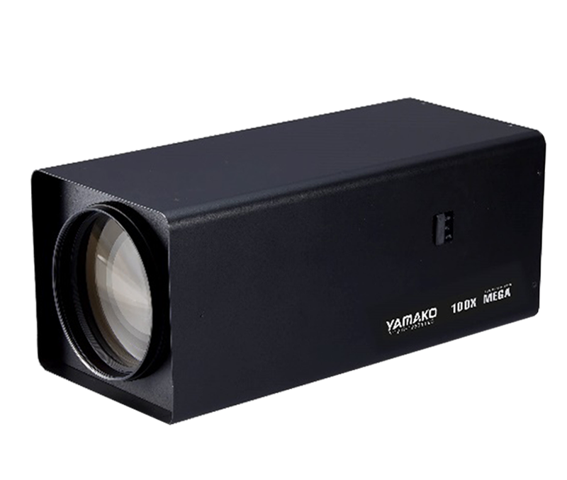
(2) It utilizes a high-magnification lens with 30x optical zoom and 16x digital zoom, totaling 480x zoom, enabling both wide-area panoramic monitoring and targeted monitoring of specific targets.
(1) The high-altitude observation system employs industry-leading image enhancement technology to achieve electronic fog penetration, ensuring normal monitoring and clear video and image quality even in heavy rain, fog, or other hazy weather conditions.
(2) It utilizes a high-magnification lens with 30x optical zoom and 16x digital zoom, totaling 480x zoom, enabling both wide-area panoramic monitoring and detailed capture of specific targets.
(3) High-altitude wind speeds cause significant equipment shaking and image instability. The high-altitude observation system's layout enhances gimbal stability through structural design and employs electronic image stabilization technology for smoother and clearer images.
(4) Based on the GIS/PGIS system, the client displays the lens's field of view, including direction, angle, and distance information. Simultaneously, setting the lens's field of view on the GIS/PGIS system enables reverse control of the gimbal. Adjacent monitoring points can use their field of view for video relay, performing automatic guard duties and providing fully automated monitoring.


 NewsPress center
 Hot Products
 Solution
 Contact information