ProductsProduct Navigation
 Hot Products
 Solution
 Contact information
Home > Products > Marine Time Gyro Stabilized PTZ system > Multi - sensor photoelectric tracking turntable
Product Introduction:
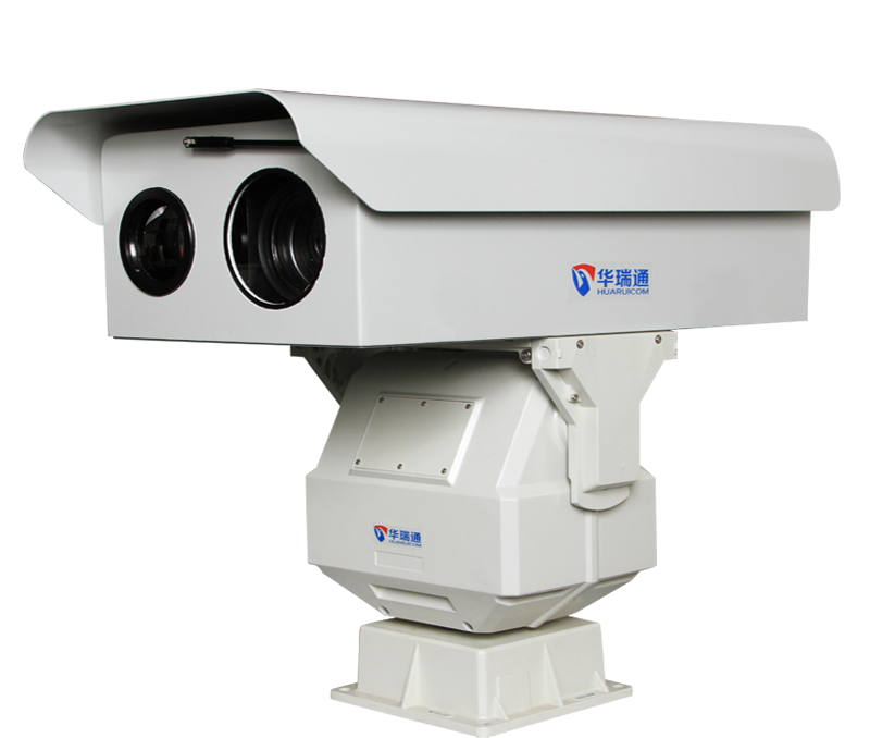
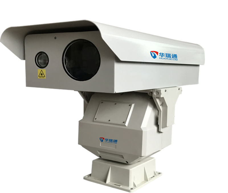
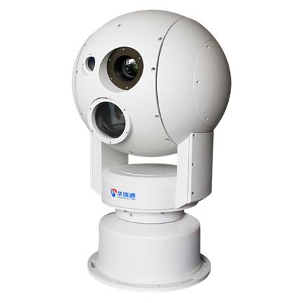
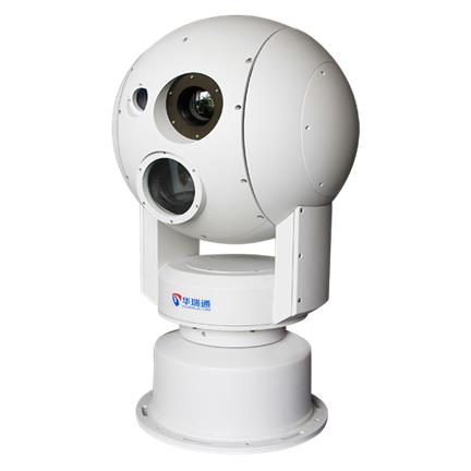
The HRC-P6800 series multi-sensor optoelectronic tracking gimbal integrates a high-wind-resistance gimbal, a low-light/high-definition fog-penetrating camera, a high-definition fog-penetrating lens, a thermal imager, and a high-power military-grade laser using advanced, scientific engineering. Featuring excellent background contrast and clear imaging, the system utilizes a high-resolution, low-light camera capable of switching between color and monochrome modes. This enables continuous day-and-night surveillance, providing color monitoring during the day and effective surveillance even in total darkness at night.
Features:
Lens Features:
3. Defogging function, effectively enhancing monitoring range and image clarity in foggy conditions.
Thermal Imaging Features:
3. Thermal focal lengths: Fixed focus (50mm/75mm/100mm/150mm/185mm, etc.); Zoom (20-100mm, 25-100mm, 30-150mm, 45-180mm, etc.).
Laser Features:
4. Laser linkage and synchronous zoom control: The laser beam angle automatically adjusts in sync with the camera lens zoom, ensuring the laser angle matches the camera's field of view without manual intervention for optimal performance.
Wind-Resistant Pan-Tilt Features:
| name | Multi-sensor photoelectric tracking turntable | |||
| model | HRC-P6800Z32T150R3L20 | HRC-P6800Z32T150R6L20 | ||
| Visible light imaging devices | Imaging devices | High-definition 2-megapixel, 1/1.8” CMOS sensor | ||
| resolution | 1920*1080, adjustable downwards | |||
| Lens focal length | 15.6-500mm | |||
| Optical magnification | 32 | |||
| Minimum object distance | 2.8m | |||
| aperture | F2.0-360 | |||
| Fog | Supports optical defogging | |||
| Autofocus | support | |||
| Thermal imaging devices | Detector type | Uncooled focal plane array | ||
| Spectral range | 7.5-14μm | |||
| Focus | Electric focusing, autofocus | |||
| Pixels | 384x288 | 640x480 | ||
| Lens focal length | 150mm | |||
| laser emitter | Transmitting device | Near-infrared semiconductor laser, HPLM laser mirror assembly | ||
| Light output power | 20W | |||
| wavelength | 808nm | |||
| Projection distance | 4000m Ideal condition | |||
| Projection angle | 0.2°~20°, electrically operated continuous precision adjustment or synchronous automatic tracking | |||
| Optical axis fine adjustment | External fine-tuning with an accuracy of 0.01 degrees. | |||
| gimbal | Rotation angle | 360° continuous horizontal rotation, -25° to 115° vertical rotation | ||
| Control speed | Horizontal movement: 0.01°/sec to 80°/sec; Vertical movement: 0.01°/sec to 80°/sec | |||
| Preset position | 256 preset positions | |||
| Timer function | Timed color-to-black switch, alarm, pattern scanning | |||
| Angle return | Supports horizontal and vertical angle feedback from the PTZ. | |||
| Communication methods | RS-422 RS-485 TCP/IP | |||
| Communication Protocol | PELCOD | |||
| physical properties | Installation method | Flat base installation | ||
| power supply | AC220V±20%, 50/60Hz | |||
| Operating temperature | -45℃~65℃ | |||
| other | Supports wipers and temperature control | |||
| Equipment weight | 65Kg | 70Kg | ||
| Total power | ≤220W, including heating ≤270W | ≤230W, including heating ≤280W | ||
| Dustproof and waterproof | IP67 | |||
| Wind speed resistance | Effectively isolates wind, resists strong wind swaying, and is resistant to carrier vibration and impact. | |||
| Gyroscope Servo | With a hull pitch and roll of ±15° and a period greater than 6 seconds, the line-of-sight stabilization accuracy is ≤0.5°±2mrad. | |||
| Radar linkage | support | |||
| Tracking mode | Manual/Automatic Motion Detection | |||
Application Scenarios:
Reliably deployed in applications such as power infrastructure, forest fire prevention, oilfield monitoring, river and lake surveillance, highway and high-speed rail safety monitoring, border and coastal defense surveillance, port monitoring, airport security and control, and urban high-altitude observation.
Related Products
Understand more>